The top of 2250-foot “Thunder Mountain” was the site of a Celtic Settlement known as the “Oppidum Donnersberg” and it was surrounded by an 8.5 kilometer-long (5.3 miles) stone wall.
The area started to be excavated in 2004 and some parts of the protective wall have been rebuilt for public display.
The settlement was abandoned for unknown reasons in the 2nd century A.D.
Tips for your visit
There is a large parking lot on top of the mountain with plenty of space. You can use this as a springboard to do some serious hiking around the Donnersberg.
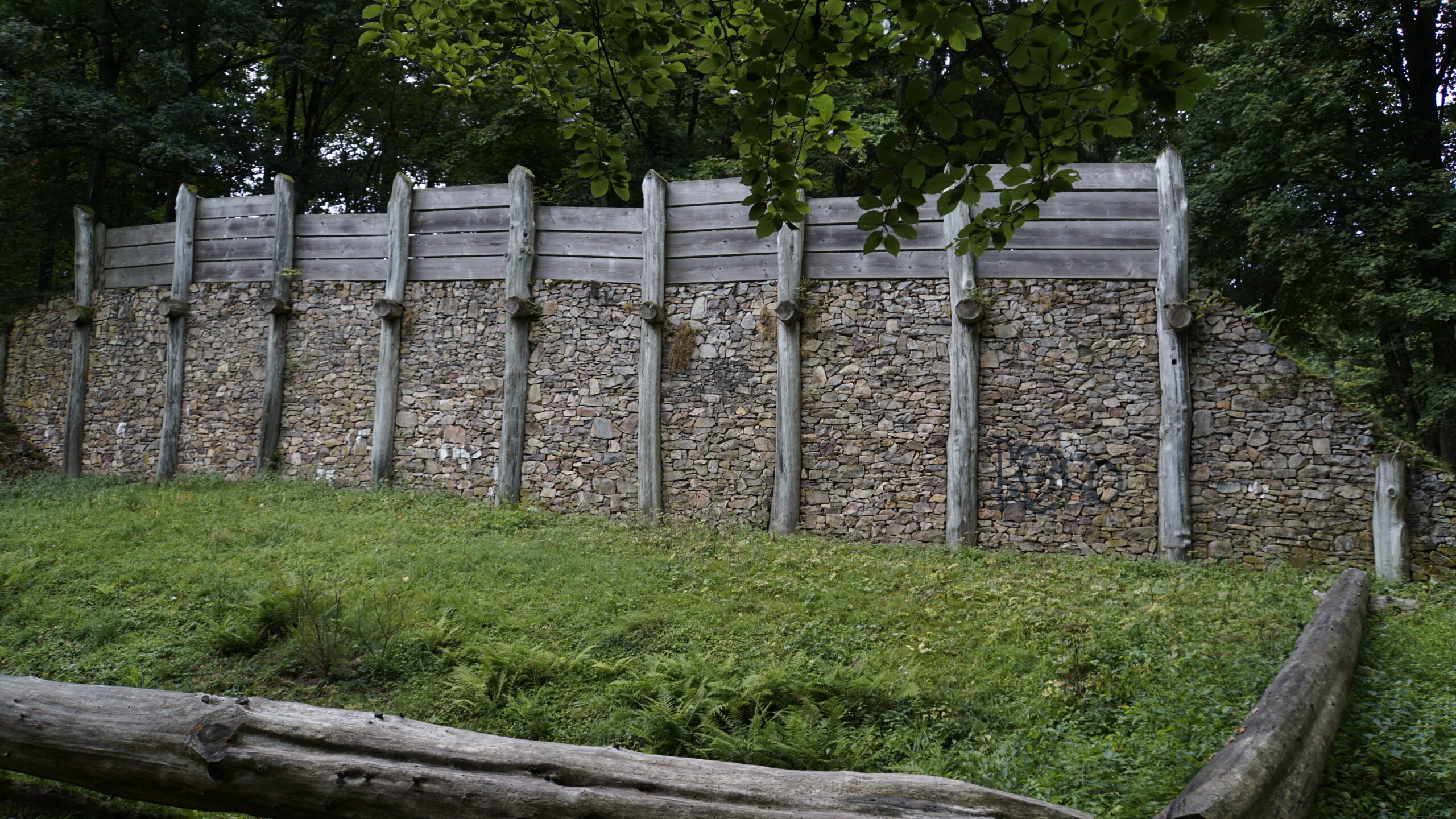
Celtic wall southeastA rebuilt part of the wall at the southeast entrance
FelsformationThis spot marks the highest point in the state of Rheinland-Pfalz, looking south
Ludwigsturm auf der DonnersbergThis tower is not far from the parking lot and has a kiosk near the bottom
Restoration sign
View to the south
Celtic WallThis was is part of the south east entrance to the former town
North entrance
LIDAR Scan of the Donnersberg SettlementHere you can see the traces of the ancient Celtic wall on top of the Donnersberg. from ArcTron 3D GmbH via the University of Heidelberg
Southeast gateWhat the gate looked like in Celtic times
Wall trailFollow this symbol to walk the wall around the top of the mountain